Rame History Group Rame Maker Cawsand Kingsand Millbrook Southdown Cremyll Picklecombe Pier Cellars Penlee Rame History Whitsand Polhawn Tregonhawke Freathy Tregantle Foss Anderton Empacombe Tamar Hamoaze Plymouth Cornwall history parish Edgcumbe
Wrecks
The Sea
Wrecks and loss of life - Newspaper clippings
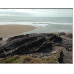
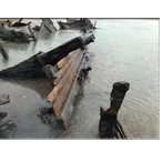
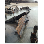
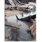
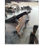
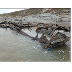
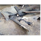
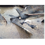
FEBRUARY 2014 STORMS REVEAL WRECK AT FREATHY
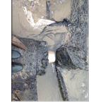
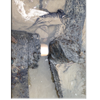
Bill Honey, resident at Freathy, reported the exposure of a wreck rarely seen to the east of Sharrow Point.
The wreck lies almost 'square on' to the waves and as can be seen still shows its propellor and remarkably un-fouled prop shaft.
After consulting with Peter Holt from Promare, who probably have recorded the most comprehensive wreck records in the Plymouth area, a small team surveyed the remains which are thought to be that of the 'Gypsy' wrecked in 1903.
For full details go to: https://www.shipsproject.org/Wrecks/Map_Fore_Whitsand.html
If you visit the site, there may be little or nothing to see, the sands excavated by the storms have returned to cover the remains.
Thanks to Bill Honey for permission to use the photographs.
This page is currently under development
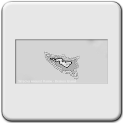
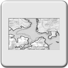
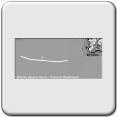
Wrecks around Rame
There are two ways to access information:
1. Click on one of the links below to go to PDF files of nearly 300 wrecks:
Wrecks around Rame - by date
Wrecks around Rame - by name
2. To start your search in a particular area:
Click on ONE of the NINE 'area maps' below to reveal wrecks locations:
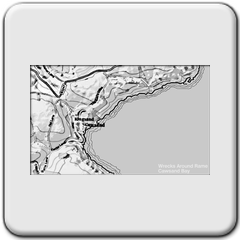
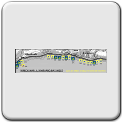


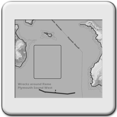
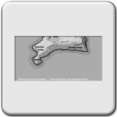


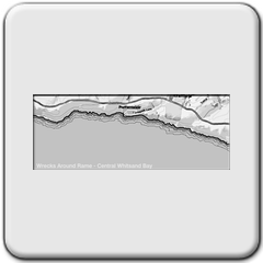
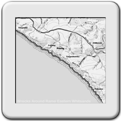
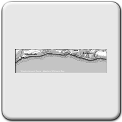
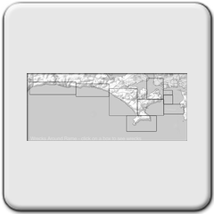
Accuracy: please remember, the older the wreck, the less certain the exact location is. A newpaper in the 18th century might only report 'The 'Unlucky Lady' was lost in Whitsand Bay' - with no more geographical detail. So divers, please use the information, but do not rely on the co-ordinates. Oh, and of course these maps are not to used for navigational purposes!!!