A coastline that shaped everything
The Rame Peninsula occupies a unique position. Geographically it marks the easternmost limits of Cornwall, so a chapel on its promontory would mark entry or departure from what was once described as an ungovernable, bleak and unattractive peninsula, far from the political intrigues of the capital — a land swept by high winds and battered by channel and ocean storms.
Strategically, to command the estuary of the River Tamar at the point known as the Hamoaze would have obvious advantages, especially with a dockyard upstream and three towns to defend. Plymouth Sound, with its western border edging the Rame Peninsula, made an obvious base for naval sailing vessels seeking to limit French activities in the English Channel.
Economically, the three towns of Plymouth flourished with many waterside facilities to encourage trade locally and further afield. Surrounding this large population centre grew a ring of satellite communities, including our own, mindful of the trading opportunities of the nearby town and so taking advantage of their location at creek head or in sheltered bay.
The sections in this part of our archive present a reference point for fishing, smuggling and naval activities which affected those alive at the time, and which provide us now with a useful link to the past of our peninsula.
From the archive
The Second Armada in 1779
A short chronology of events by Brian Rayden
Rame Gig Club — A Little History
A compilation by Gillian Gibson with contributions from Tony Carne, John Shepherd and other local historians
Indentures of John Cork, Apprentice Boat Builder
John Cork signs a six-year apprenticeship as Shipwright to Mashfords, 1946
The Breakwater — Image File
A photographic record of Plymouth Breakwater and its history
Database of 19th Century Shipping Registrations
A record of approximately 900 locally registered vessels — boats, owners, skippers and transactions from Plymouth Sound
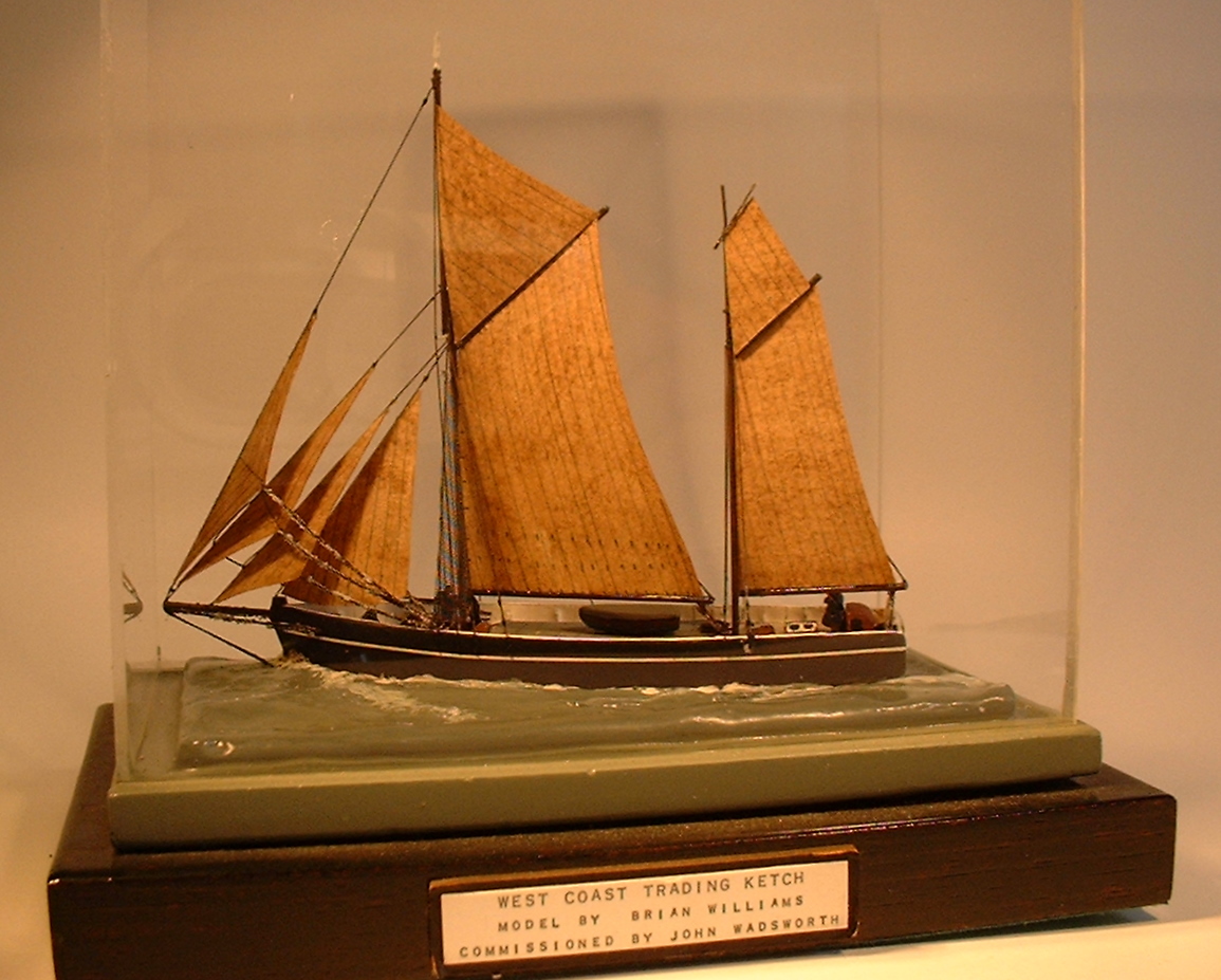
Brian Williams — Master Model Maker
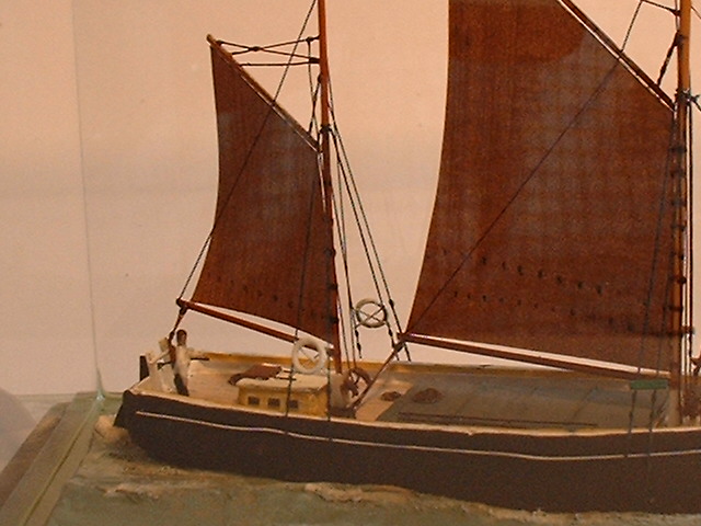
The remarkable story of a master model maker from the Rame Peninsula, with article and image gallery
The Quest in Cawsand Bay, 1922
The returned Antarctic expedition vessel anchored in Cawsand Bay, having left Ernest Shackleton buried on South Georgia. A local resident, Mrs Carne, climbs aboard.
A Bibliography of Shipwrecks
An extensive booklist of relevant publications for those researching maritime history in this area
The Tragedy of Tregonhawke Bay
Whit Sunday, 9 June 1878On the cliffs above Whitsand Bay, there is a granite memorial with a Celtic cross. The view from it is quite lovely — a long sandy beach, some rocks, and the white-crested waves. On a hot summer's day nothing could look more perfect than to pick your way down the steep path and stretch out on the sand.
The full story of the Spender family tragedy, told by a descendant, is available at the link below.
Read the full storyMore from this section
Further photographs, documents, galleries and links held in the group's online archive for this topic. Documents open in a new tab.
Photographs and images









Select a picture to open it full size.